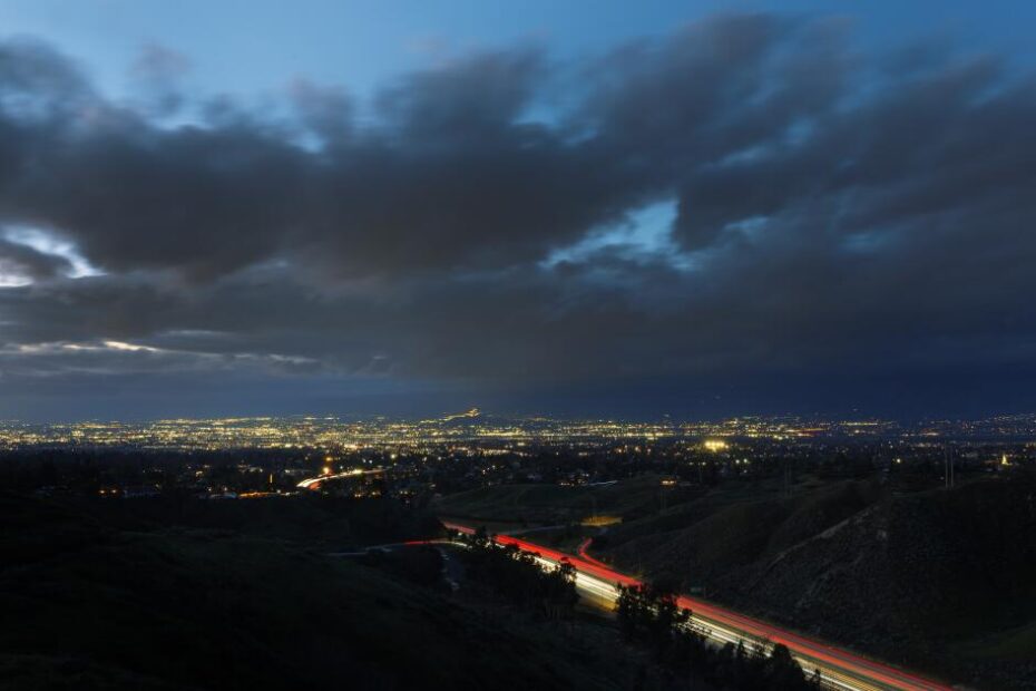
A series of storms drenching California continued to cause problems across the Southland Wednesday morning, triggering crashes on the freeway, knocking over trees and sparking concerns about floods and debris flows in fire-scarred foothills.
Much of the region was under a wind advisory Wednesday morning, with forecasters warning of powerful gusts of up to 60 mph. And after significant rainfall soaked the soil during Monday’s storm, trees were particularly vulnerable to toppling during Tuesday night’s strong winds.
As of 6 a.m. top rainfall totals were 6.79 inches at San Antonio Sierra PH in Los Angeles County, 5.9 inches at West Fork Heliport in Los Angeles County, 5.83 inches at Cogswell Dam, 5.36 inches at Rocky Butte in San Luis Obispo County, 5.31 inches at Mount Baldy, 4.88 inches at Las Tablas and 4.87 inches at Santa Margarita.
Storm damage was minimal Wednesday morning, with a report of a downed tree blocking Santa Rita Road near Old Creek Road due to a convective line.
An evacuation warning remains in effect in the Palisades, Sunset and Hurst burn scar areas until 9 a.m. due to the potential for mud and debris flows. Topanga Canyon Boulevard remained closed between Pacific Coast Highway and Grand View Drive as crews continued to address numerous debris flows from this week’s storm activity.
Monday’s storm brought heavy snow in mountains across the Southland, with resorts such as Big Bear in San Bernadino receiving 2 feet of snow by Tuesday evening and even more overnight. Farther north in the Sierra Nevada, a powerful avalanche left rescuers scrambling to find 10 missing skiers in the backcountry near Lake Tahoe.
Those hoping to make it up to the Southern California mountains to enjoy the fresh snow are advised to take advantage of Wednesday afternoon’s window of calm weather to make the trip, said weather service meteorologist Rose Schoenfeld.
But more inclement weather is on the way.

(National Weather Service)
A third storm system is set to arrive in the Los Angeles region Thursday, bringing around a quarter of an inch to half an inch of rain in the coast and valley areas and up to an inch in the mountains.
Several additional inches of snow are expected in areas above 5,000 feet on Thursday, and snow is likely to fall at even lower elevations overnight and into Friday morning, once again hindering travel. Officials warn snow could accumulate over Interstate 5 along the Grapevine and on Interstate 15 at the summit of the Cajon Pass, prompting possible road closures or delays.
A winter storm warning is in effect until 10 p.m. Thursday for the San Bernardino County mountains. Big Bear Mountain Resort forecasts receiving an additional 5 inches of snow Thursday.
Snowfall is also expected to continue in the Sierra Nevada on Thursday, where up to 8 additional inches of snow are expected in the Tahoe Basin and a winter storm warning is remains in effect until 10 p.m.
Avalanche danger is also expected to remain considerable after recent storm systems have cumulatively dumped several feet of snow.
Friday is expected to be dry but cold, with the possibility of some morning frost in the valleys as temperatures remain chilly. Saturday is expected to be the nicest day of the week as the sun returns and temperatures rebound into the 60s.
But, even then, the wet weather will not be over. Forecasters predict a possible additional round of rain on Sunday and into next week.
Times staff writers Summer Lin and Grace Toohey contributed to this report.